The Melbourne Doughnut
Explore how well Melbourne is tracking as a place that supports people and planet to thrive.
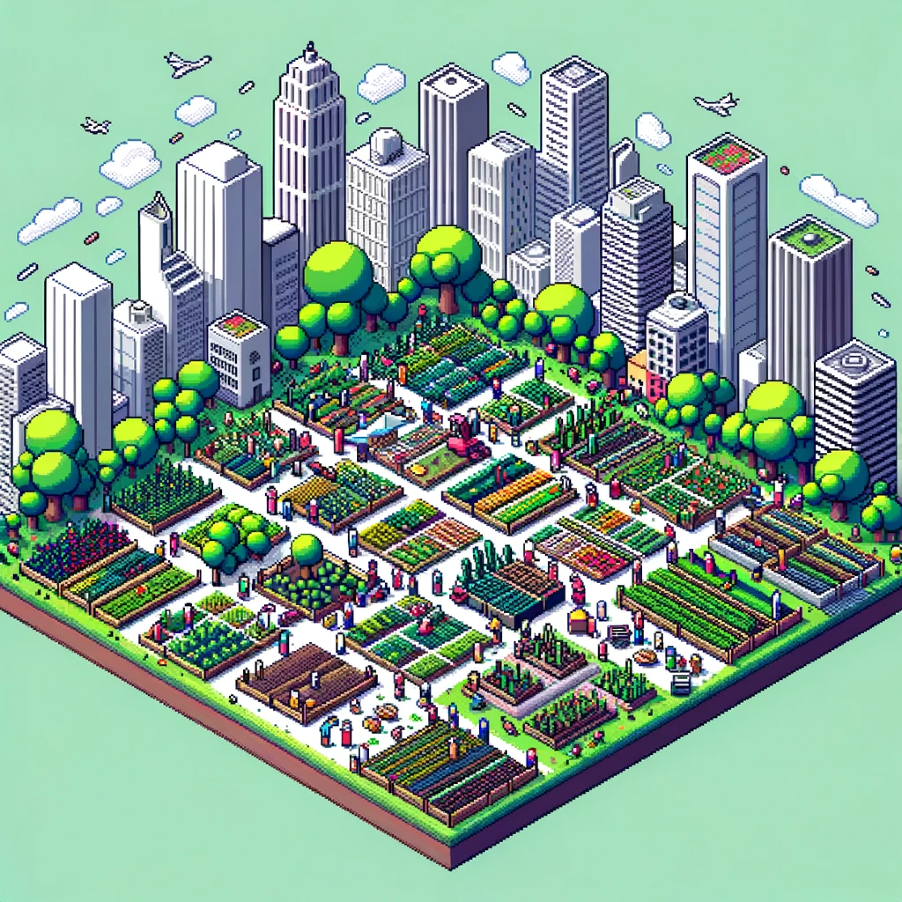
Land Conversion
Converting land for human use – such as turning forests and wetlands into cities, farmland and highways – depletes Earth’s carbon sinks, destroys rich wildlife habitats, and undermines the land’s role in continually cycling water, nitrogen and phosphorus.
Contributors to Land Conversion
Land Conversion (or land-use change) occurs when human activities transform a natural landscape from one land type to another. Forests are one of the most important land-based habitat, with approximately 80% of the world’s terrestrial species found in tropical forests. They also provide significant natural benefits to humans, including their role in the carbon cycle. Contributors to harmful Land Conversion include changing natural landscapes into:
- Cultivated cropland
- Urbanised / developed areas
- Mines and other sites of resource extraction
Planetary Quotas for Greater Melbourne
Each dimension of the Ecological Ceiling is measured using per-capita Planetary Quotas for Greater Melbourne.
Land Use
Land converted for agriculture and urbanisation is reducing habitat and natural carbon capture
What we're measuring
Area of land converted to anthropised uses (e.g., urbanisation and farming)
- 2030 Target
- Under 10.46k km2 per year
- Now
- 86.84k km2 per year
Placing Land Conversion in the system
Global to local connections
Land Conversion on a global scale is the cumulative effect of both large and small changes at a local level. The large geographic footprint in Greater Melbourne has permanently changed the landscape, but opportunities exist to reduce the impacts that the city has had on its ecosystems. Land Conversion in Greater Melbourne can be slowed or reversed through:
- Prioritising infill development over greenfield development to support growth of the city
- Re-wilding landscapes in and around the city
- Retaining trees when land-use changes occur where they exist
Stories
Learn more
How was this dimension developed?
The Land Conversion dimension of the Greater Melbourne City Portrait has been developed in collaboration with Open Corridor with research support from the University of Melbourne. The assessment of Melbourne's environmental footprint applies a Planetary Accounting approach. A detailed description of the City Portrait methodology is outlined in the About section of the website.
Where can I access the data?
Data for Land Conversion, along with the other Ecological Ceiling dimensions are available in the Ecological Ceiling Dataset.
For Social Foundation dimensions, see the Social Foundations Dataset.
Where can I find more information on Land Conversion in a regenerative Melbourne?
The City Portrait is informed by extensive research and resources on Doughnut Economics and related frameworks, as well as sector-specific research associated with each dimension. More detailed research that has informed the Land Conversion dimension is available to explore via Altiorem's library.
How can I get involved?
To get involved with ongoing development of the City Portrait or learn more about Regen Melbourne, email alison@regen.melbourne